

Luoghi del Centro: a town centre that answers back
Brand, system and itinerary web app for the town centres of Cittadella, Este and Campodarsego. One system, three towns.
In short
Luoghi del Centro is an itinerary web app built by Opificio Lamantini Anonimi for the historic centres of Cittadella, Este and Campodarsego, in the province of Padua, Italy. It opens by scanning a QR code on the spot and is available in Italian and English. It began within the Distretto del Commercio di Cittadella.
Project facts
- Project
- Luoghi del Centro
- Type
- Itinerary web app, brand, launch materials
- Territory
- Cittadella, Este, Campodarsego (Padua, Italy)
- Commissioned by
- Distretto del Commercio di Cittadella, with the Municipality of Cittadella and Confesercenti del Veneto Centrale
- Programme
- PR ERDF 2021-2027, Action 1.3.7 — 2023 call for commercial districts, Veneto Region, co-funded by the European Union
- Period
- 2024 – 2025
- Languages
- Italian and English
- Online
- cittadella · este · campodarsego .luoghidelcentro.com
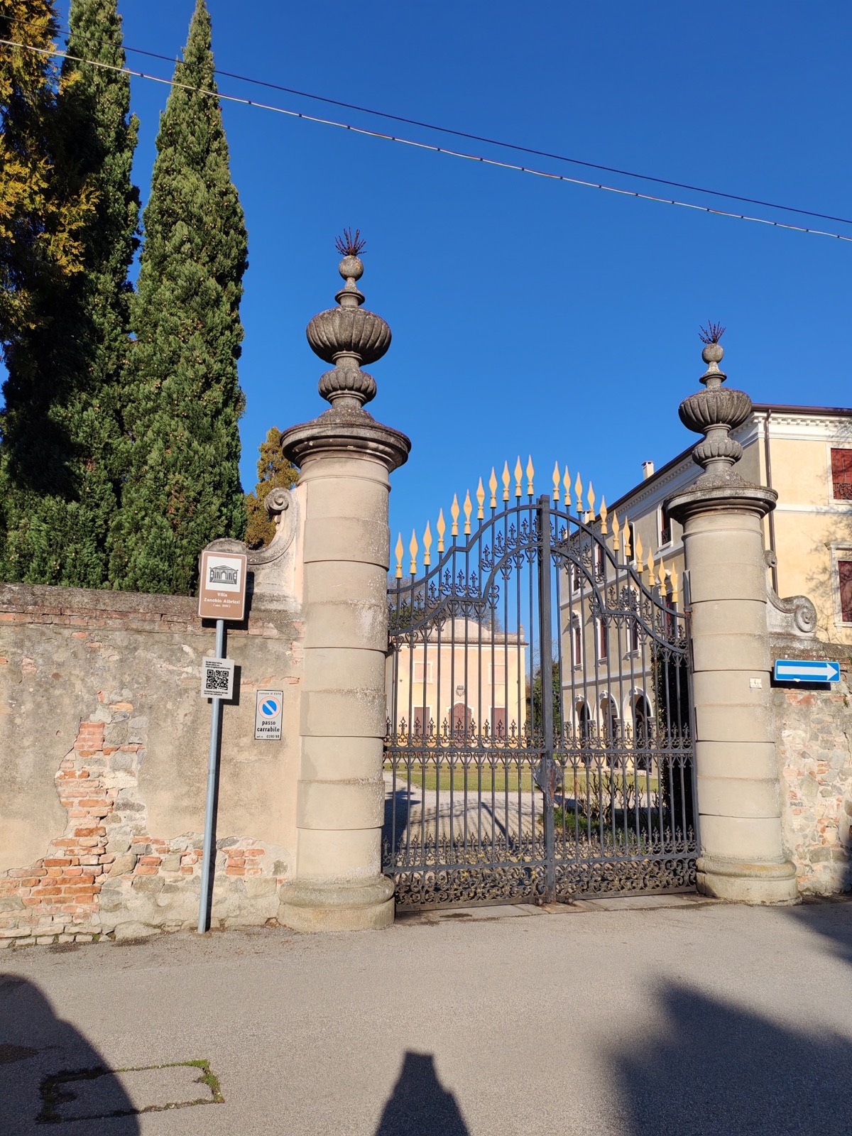
A plaque on a wall gives you the name of the building. It is rarely enough. Luoghi del Centro starts there: a QR code next to the plaque, and the phone opens a page that begins with four words, “you are at”. From that point you walk, stop after stop, with the distances in metres.
The starting point
What does a historic centre need in order to be read?
The project began inside the Distretto del Commercio di Cittadella, with the municipality and Confesercenti del Veneto Centrale, within the Veneto Region’s call for commercial districts. The aim: to make people and places meet at the exact point where they stand.
Three starting conditions
Before writing a line of codeIt sits in municipal registers and in regional decrees on historic retail sites. It does not sit in front of the place itself.
Historic shops in Cittadella, monuments and churches in Este, shops and restaurants in Campodarsego.
One that could change town without changing its rules.
How do you test an idea before building it?
You draw it in full, wrong names included. The first name was a different one.
Thirty artboards, under a working brand: spot | this spot | that. Almost everything is already there — the list of itineraries, the stop with its photo and text, the link to the next point. Some things were left behind: the bubbles with the town’s figures, the “tools” button.
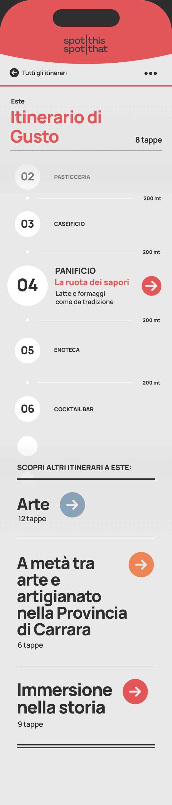



The 2024 artboards contain demo content: they were there to test the flow, not the words.
What do you call something that has to work in many places?
With a name that names no town at all. Luoghi del centro works for every centre.
The logo sits on three lines, all lower case, in a geometric grotesque. Underneath, the name of the town: di Cittadella, di Este, di Campodarsego.
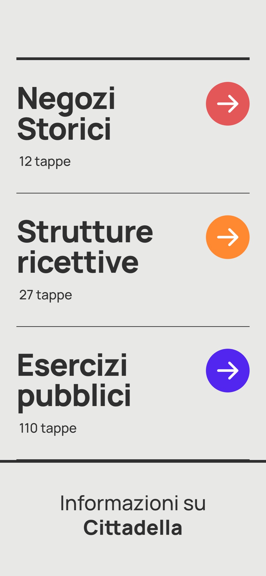
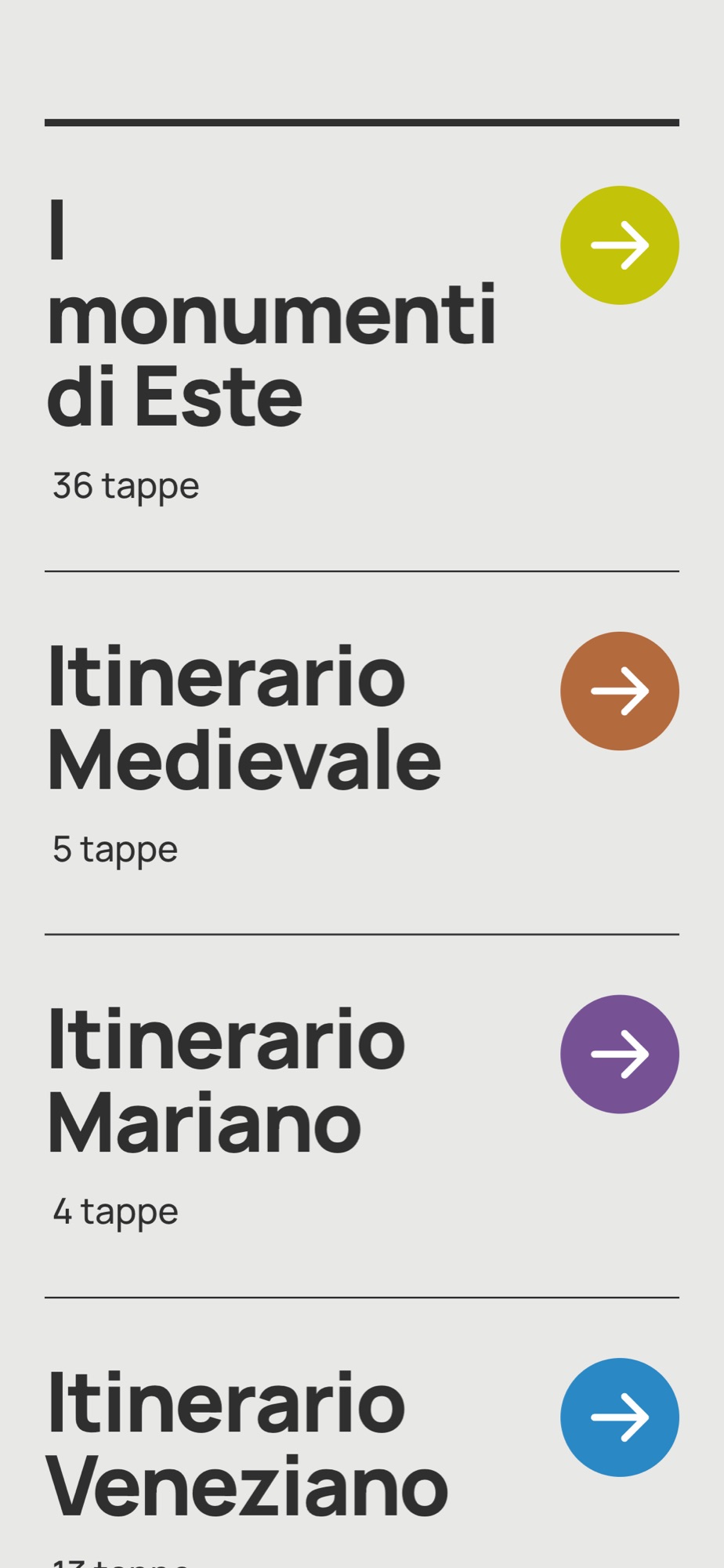
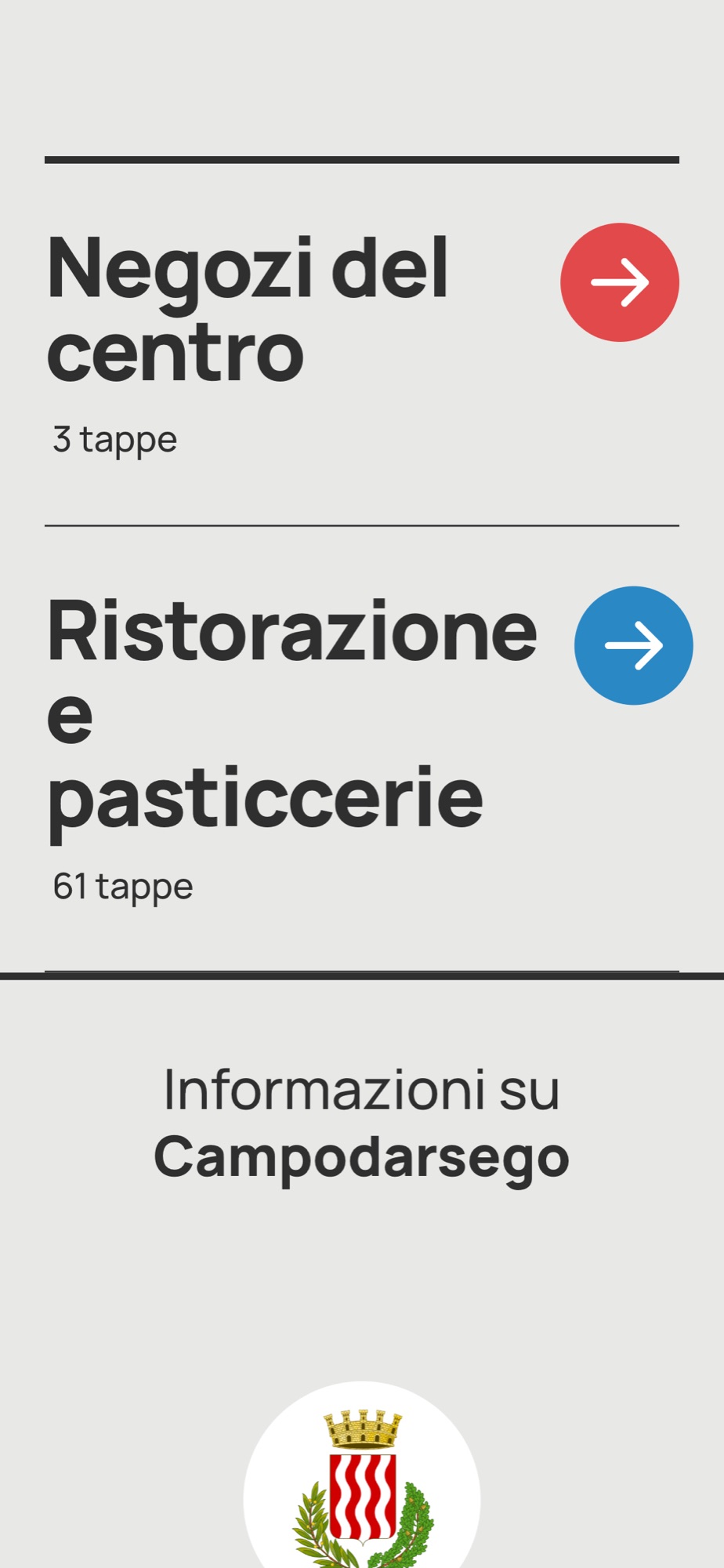
The background stays the same everywhere — pale paper, dark text, a taupe shape for the welcome. What changes is the colour, and it changes per itinerary: red, orange and violet in Cittadella; lime, terracotta, violet and blue in Este; red and blue in Campodarsego. The colour tells you which route you are on before you read a word.
A colour for each itinerary
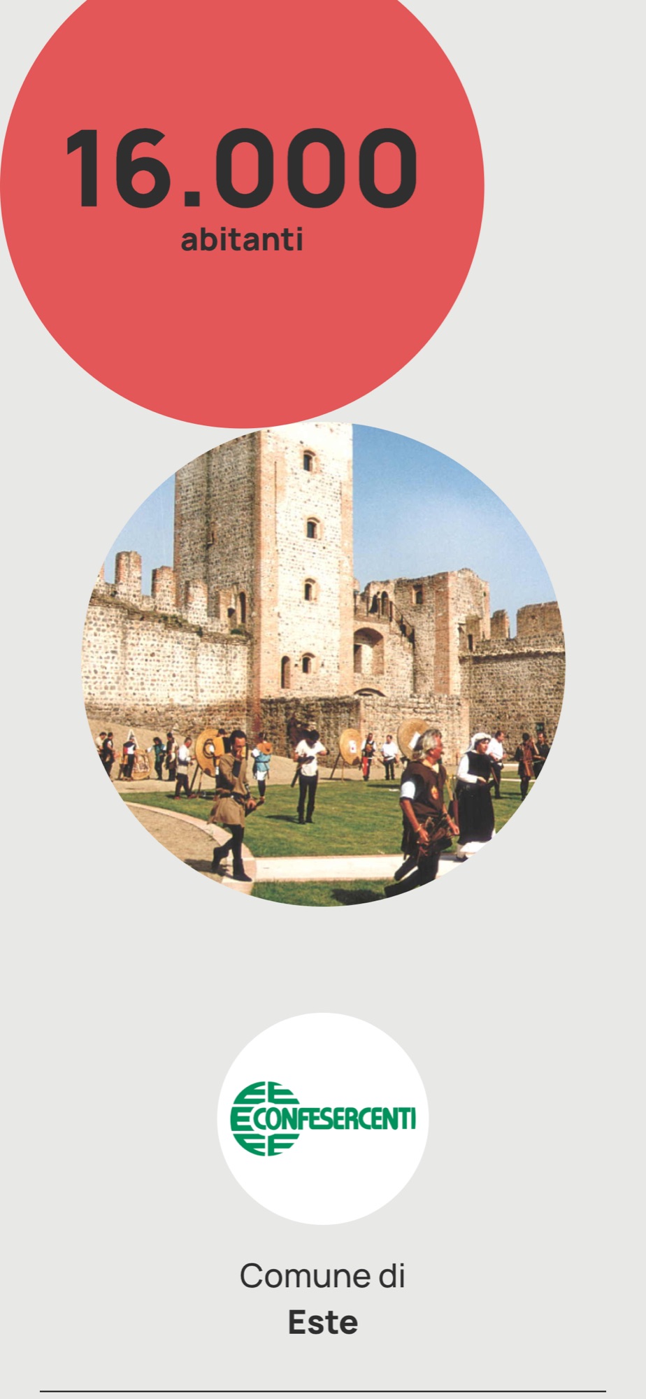
Cittadella, Este, Campodarsego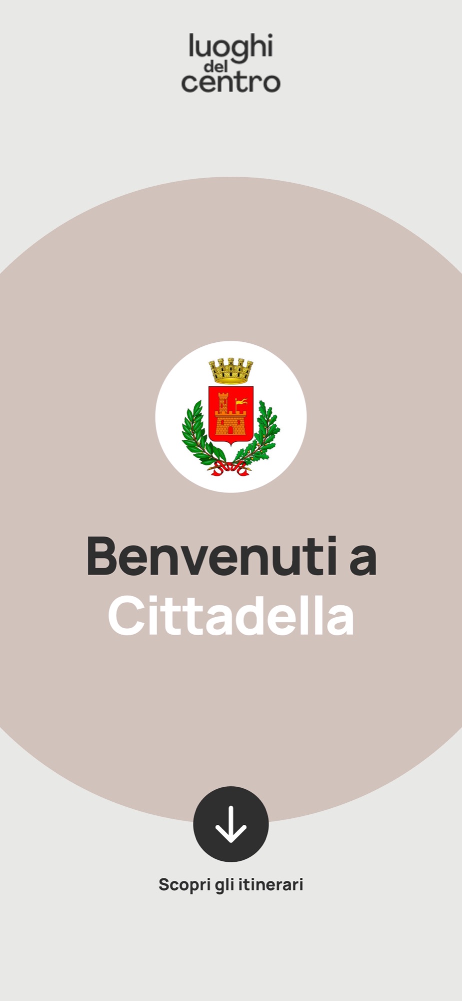
The mock-ups for the posters
The screens inside the phone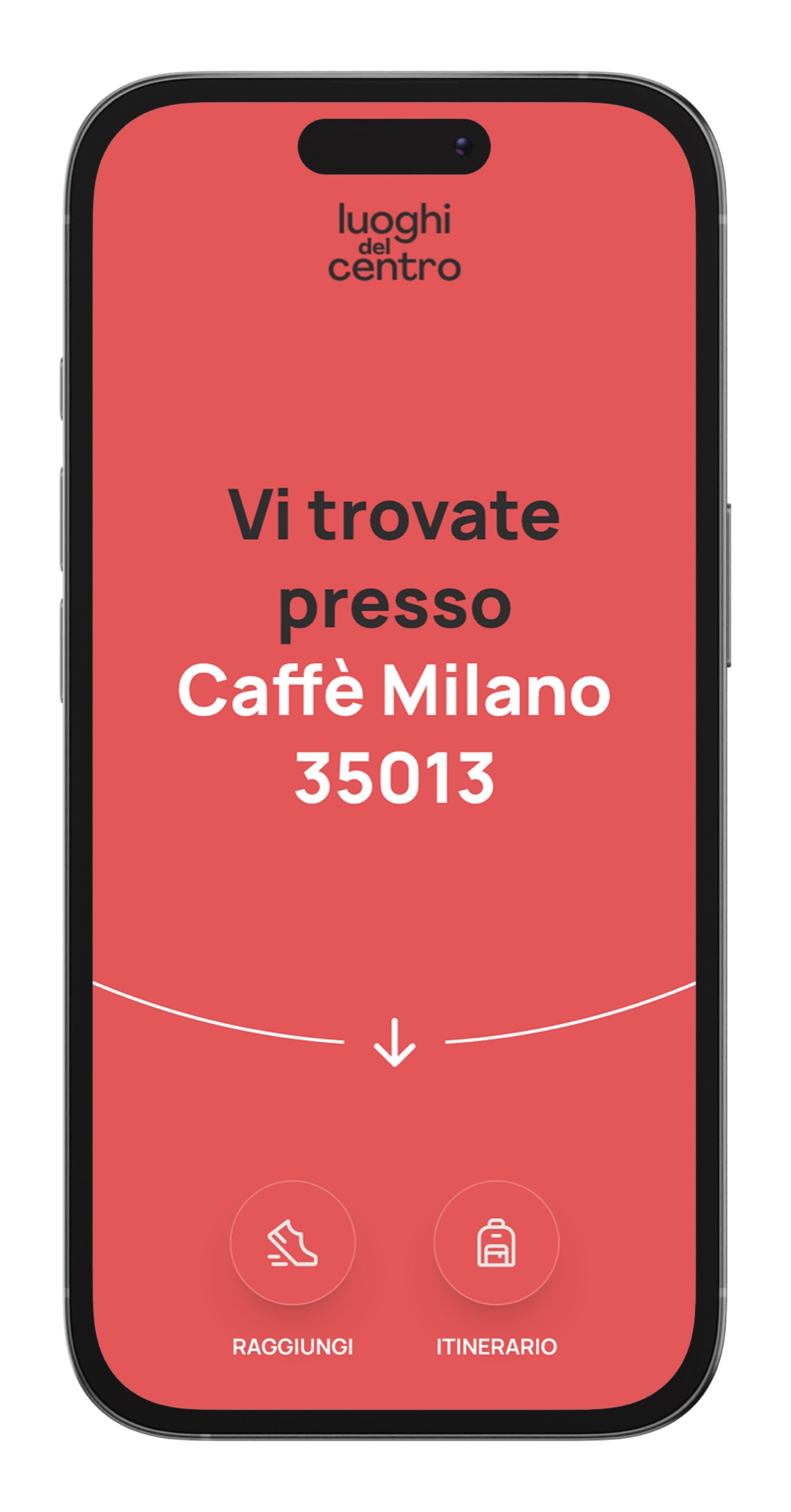
What has to happen in the three seconds after the scan?
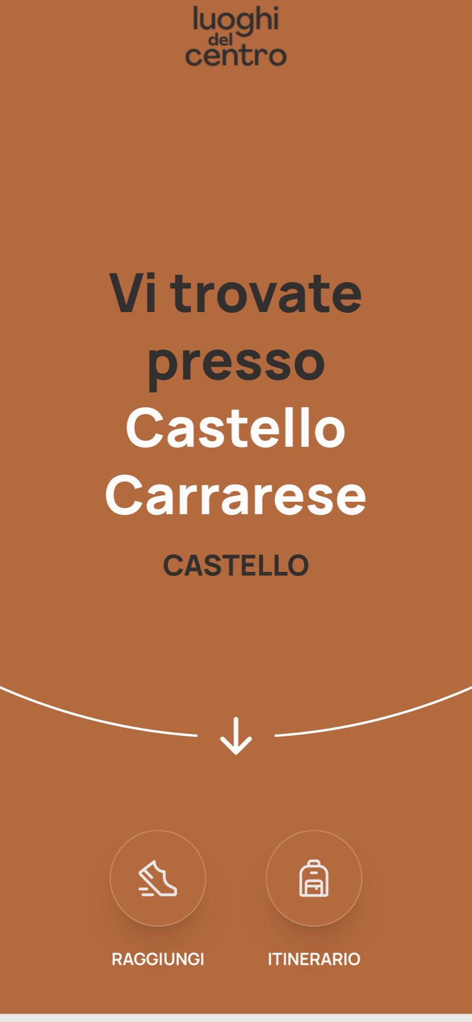
A confirmation has to arrive, not a menu. “You are at Antica Drogheria Collavo.”
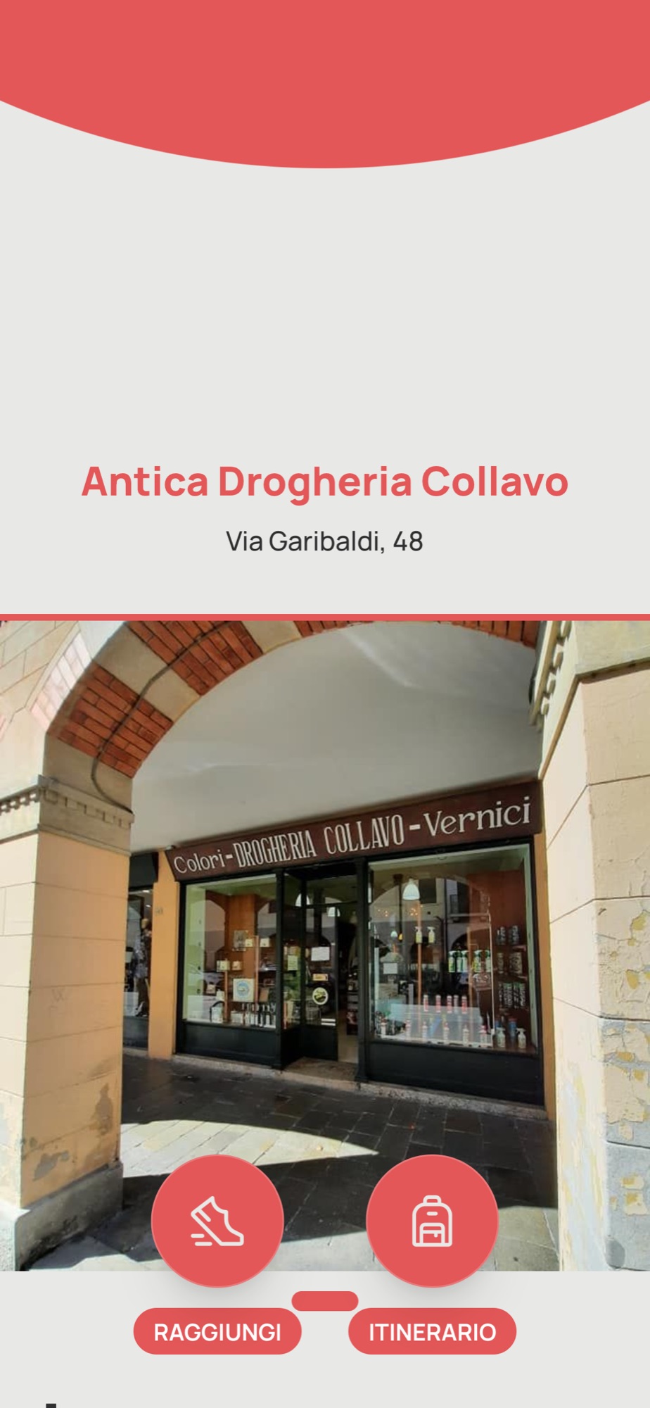
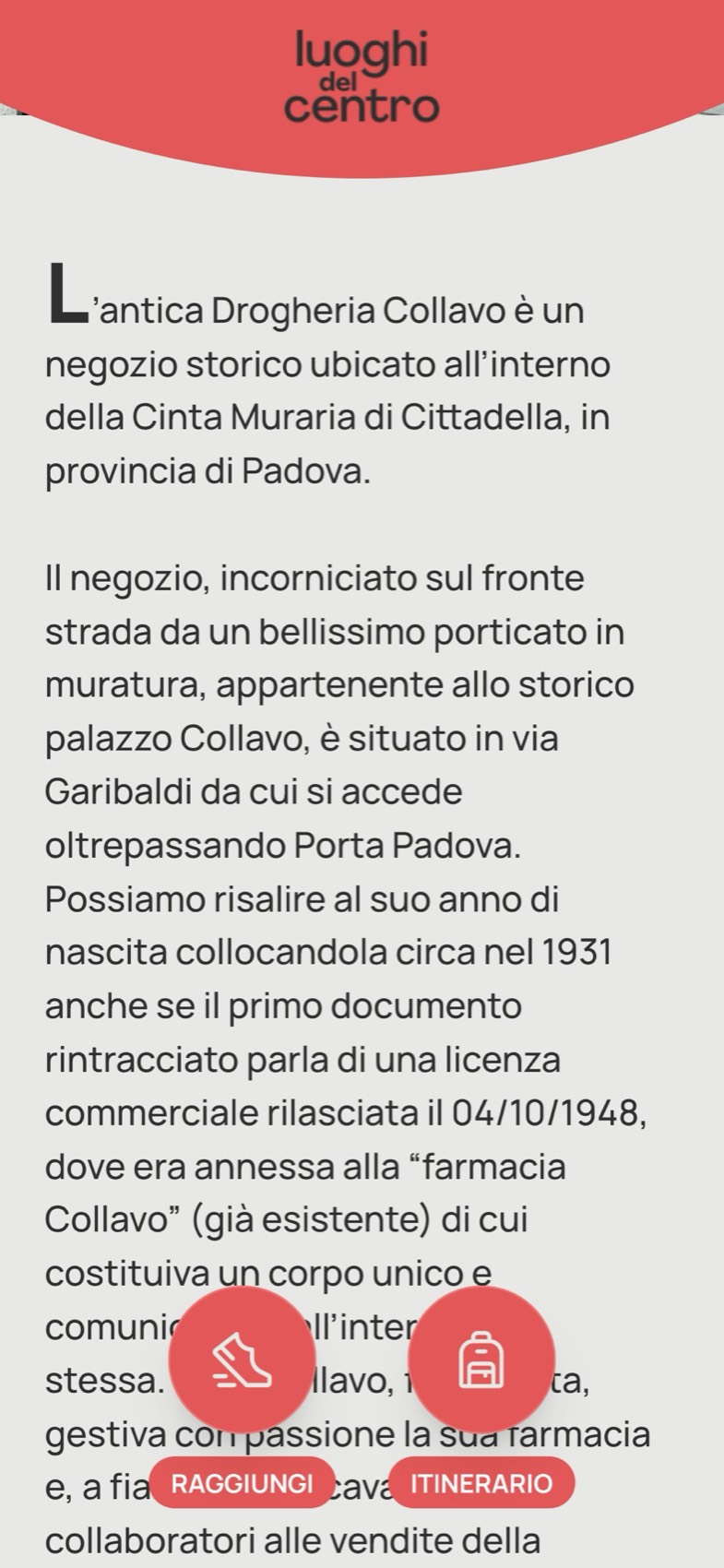
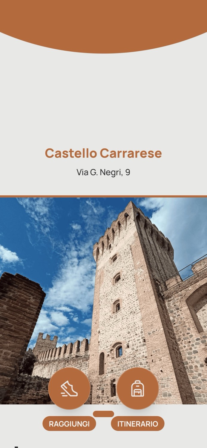
The stop page opens with the name of the place where you are standing and two buttons only: Raggiungi, reach it, and Itinerario. Then, as you scroll, the address, the photograph and the text with its drop cap.
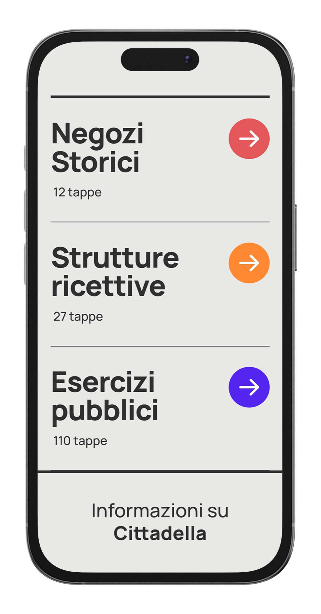
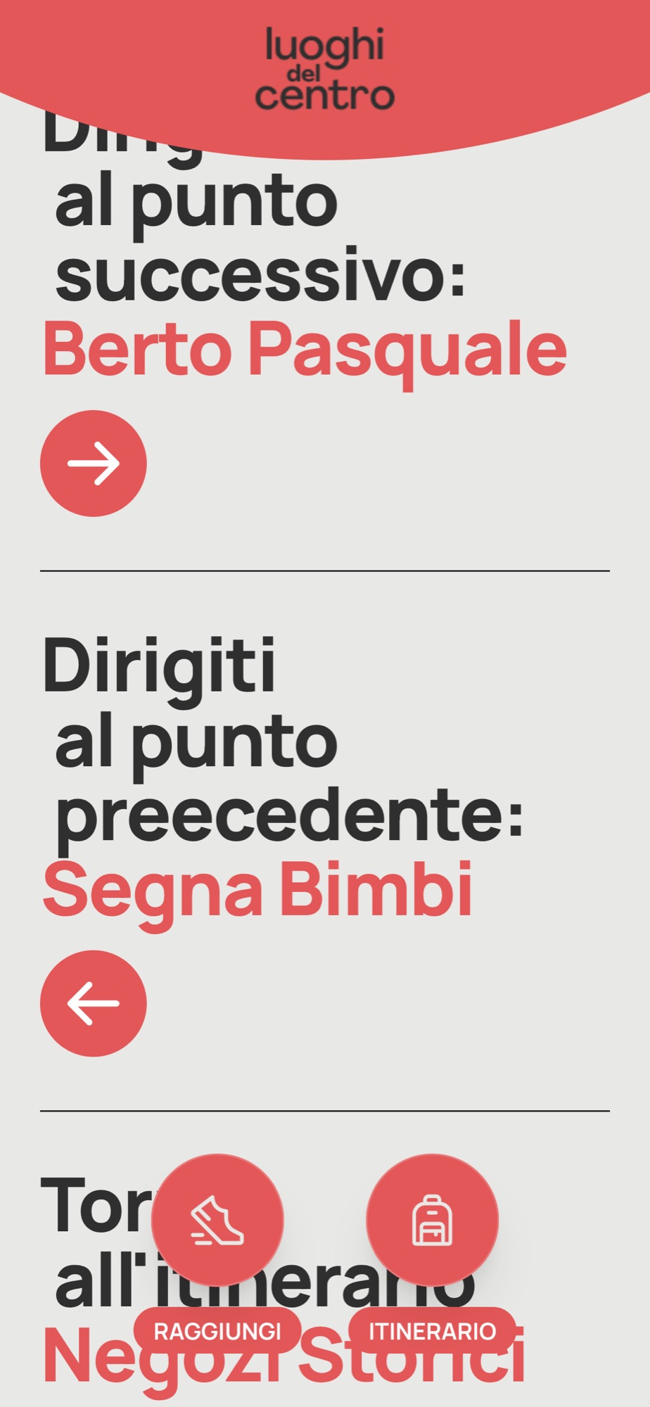
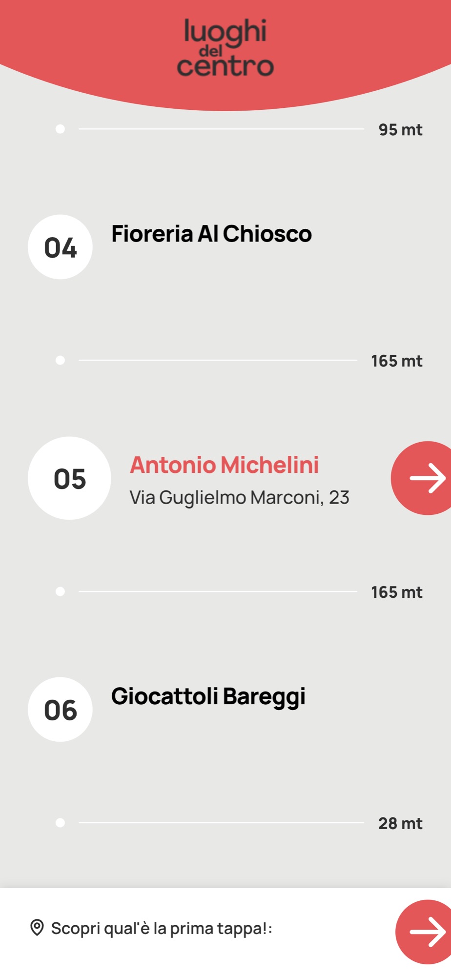
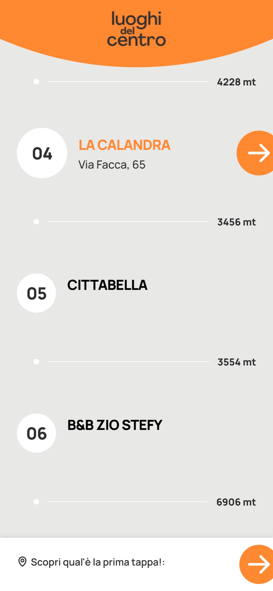
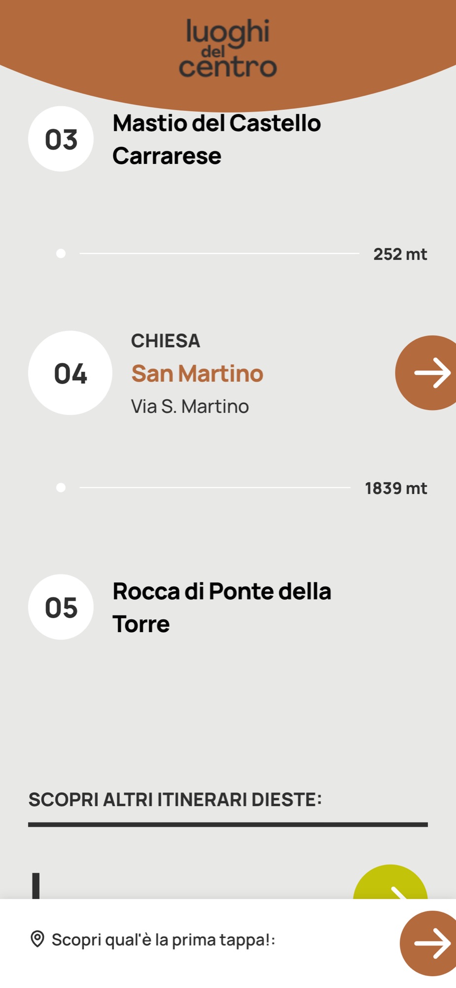
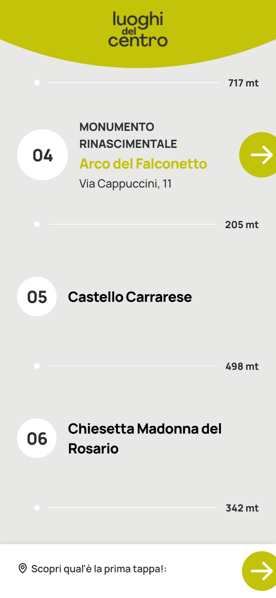
Itineraries are numbered lists, with the distance in metres from one stop to the next. At the foot of every stop there are always three ways out: next point, previous point, back to the itinerary. All of it in Italian and English; in Este some stops also have audio.
A stop, from top to bottom
Arrival, identity, story, exit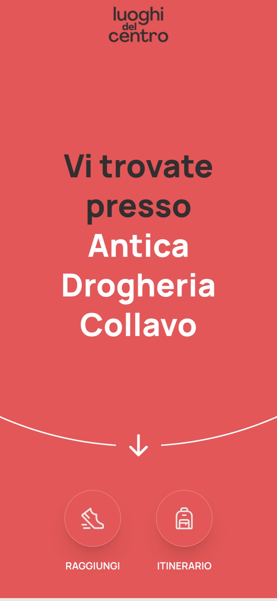
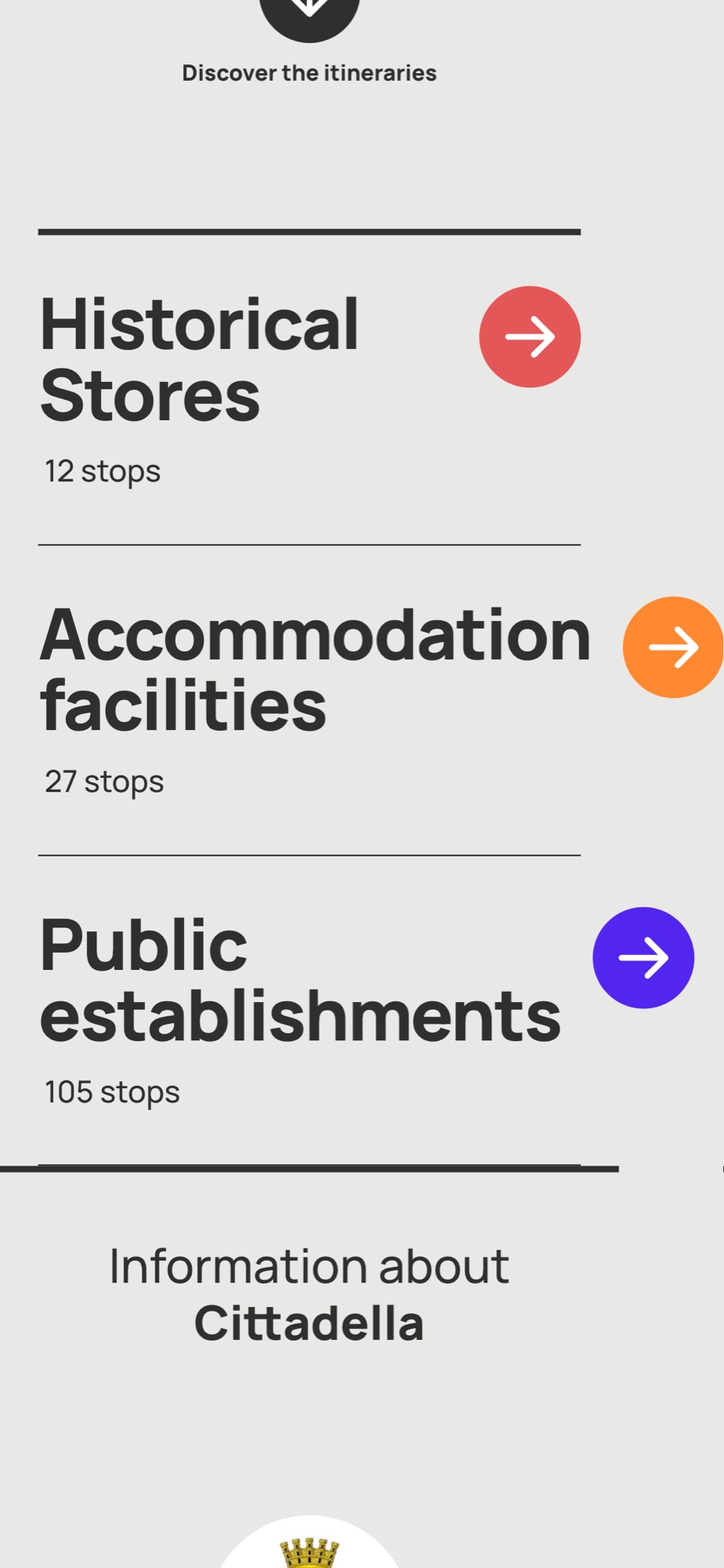
The itineraries
Numbered, with the metres between one stop and the next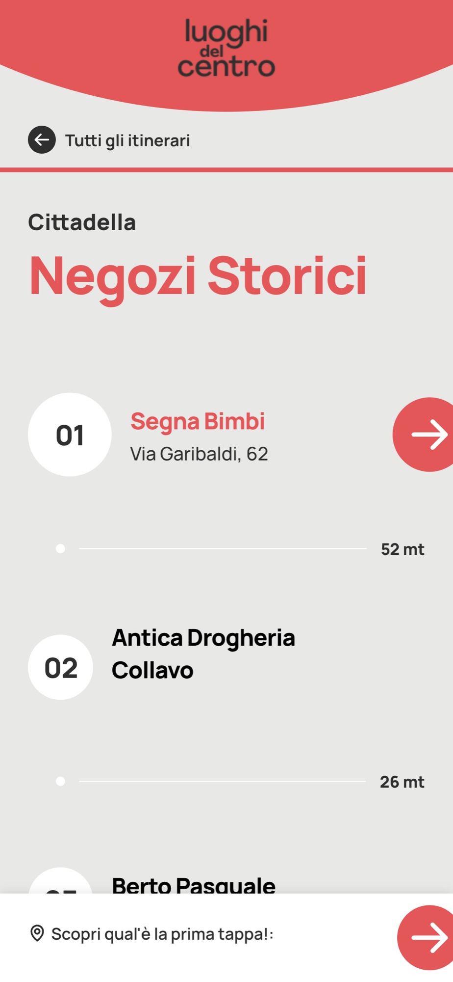
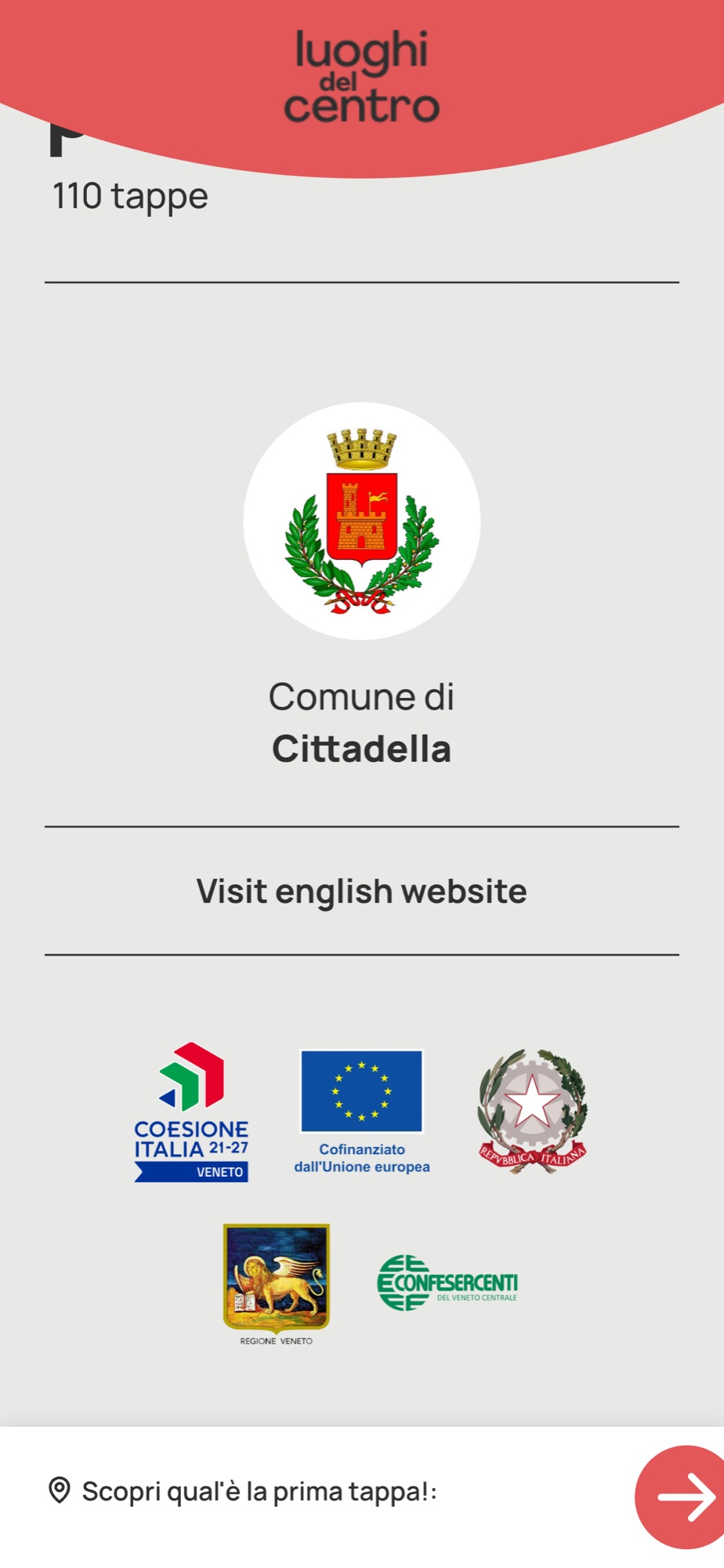
At the foot of every page
The town, the language, the programme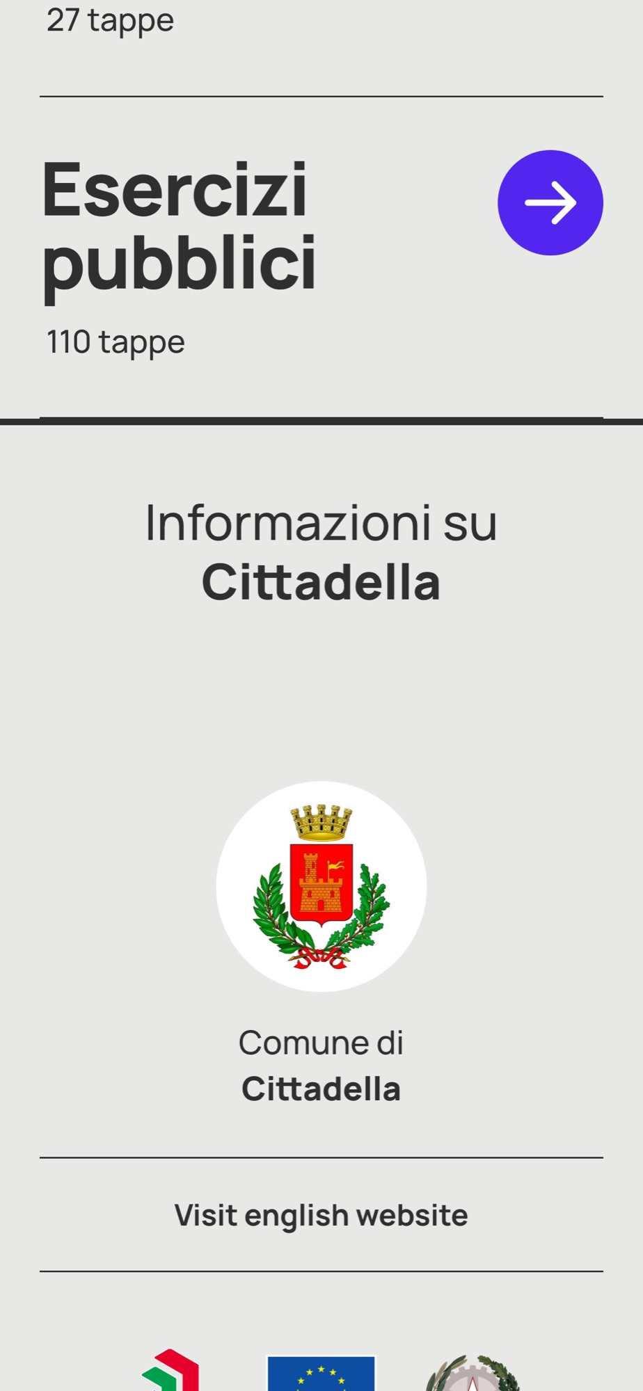
How do you tell a town it now has a guide?
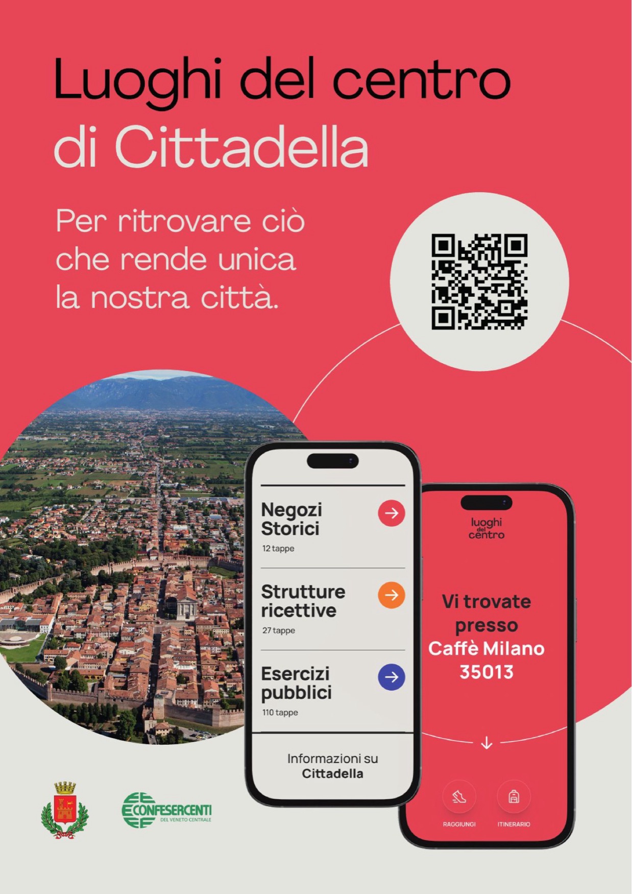
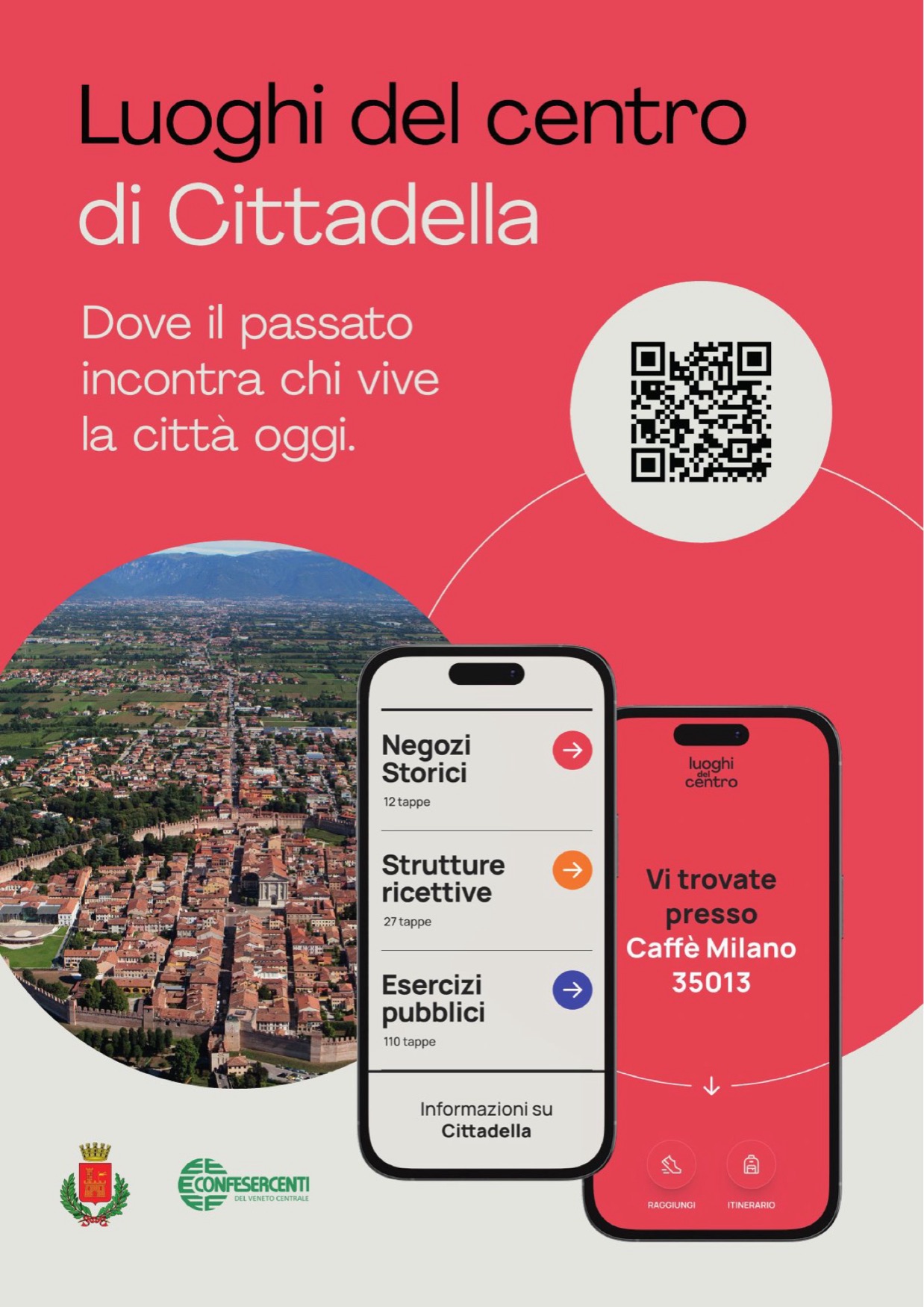
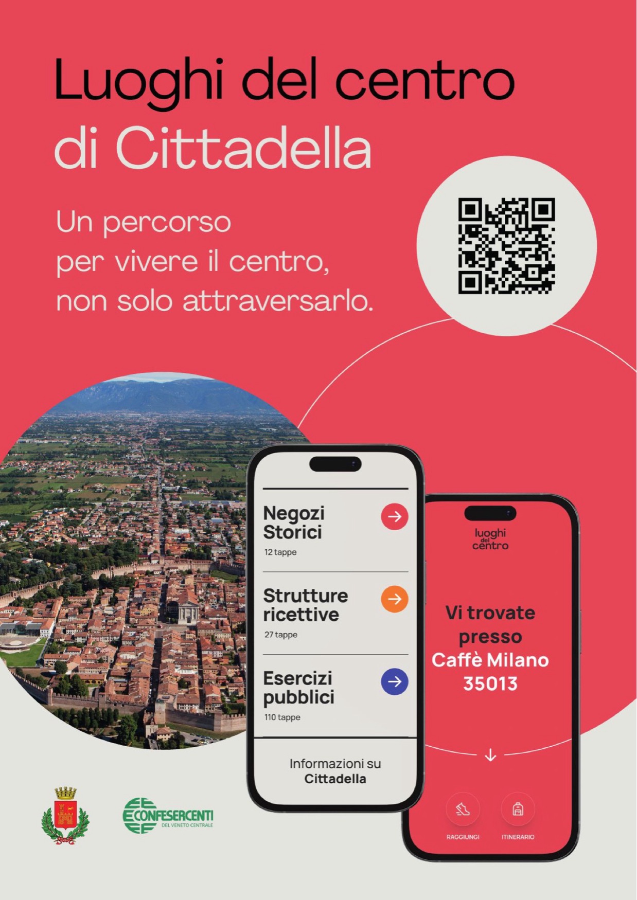
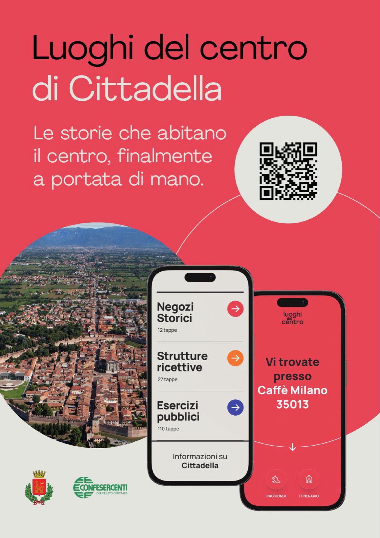
With four lines and a date. And a QR code big enough to make you think of it.
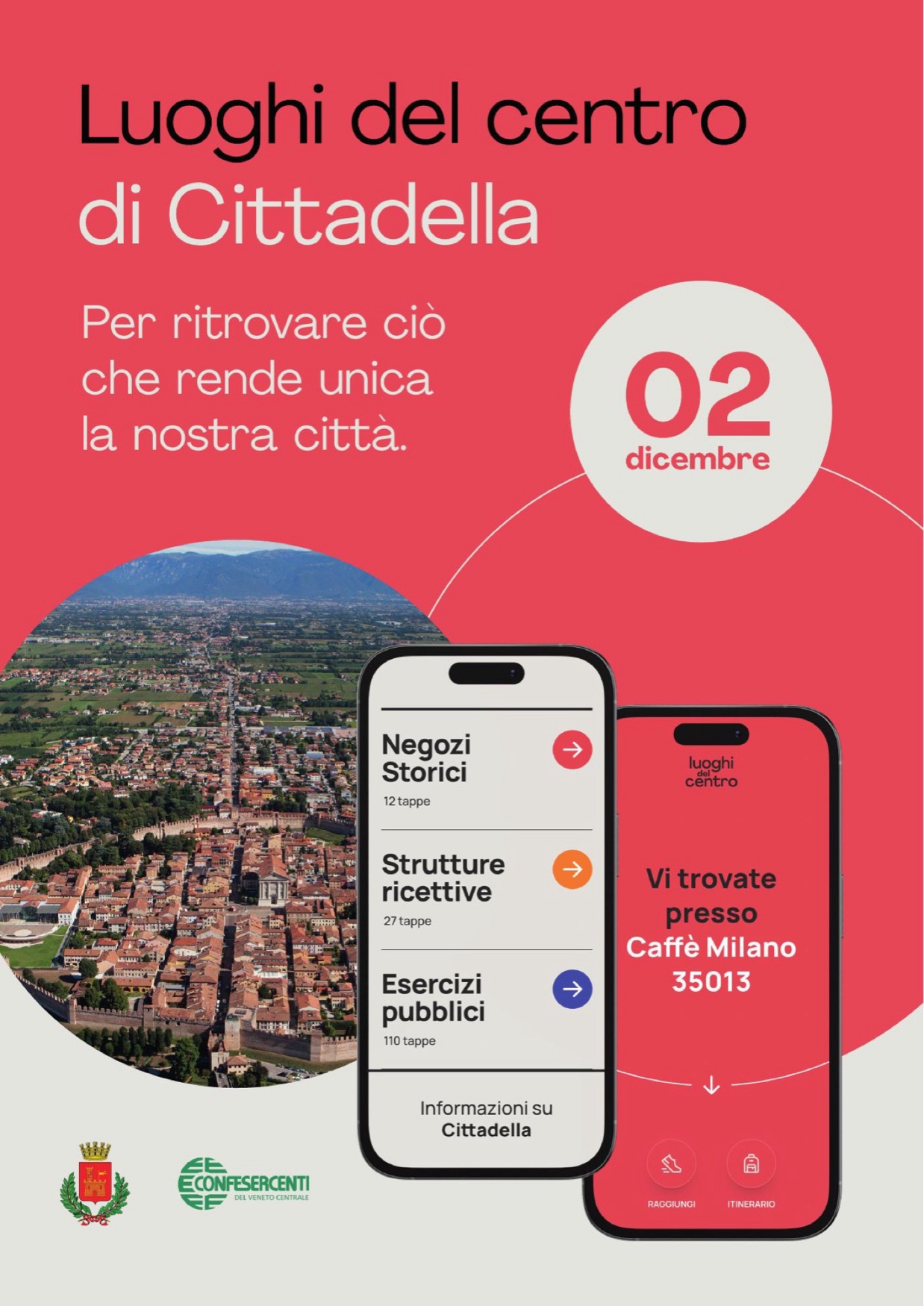
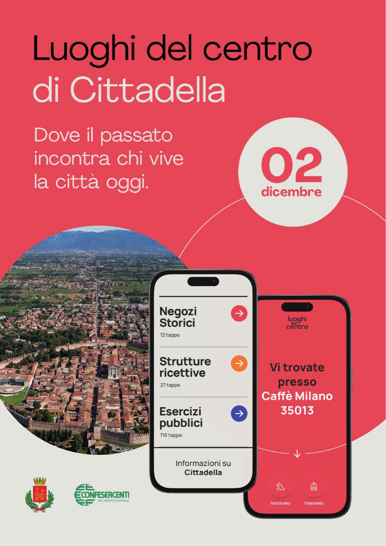
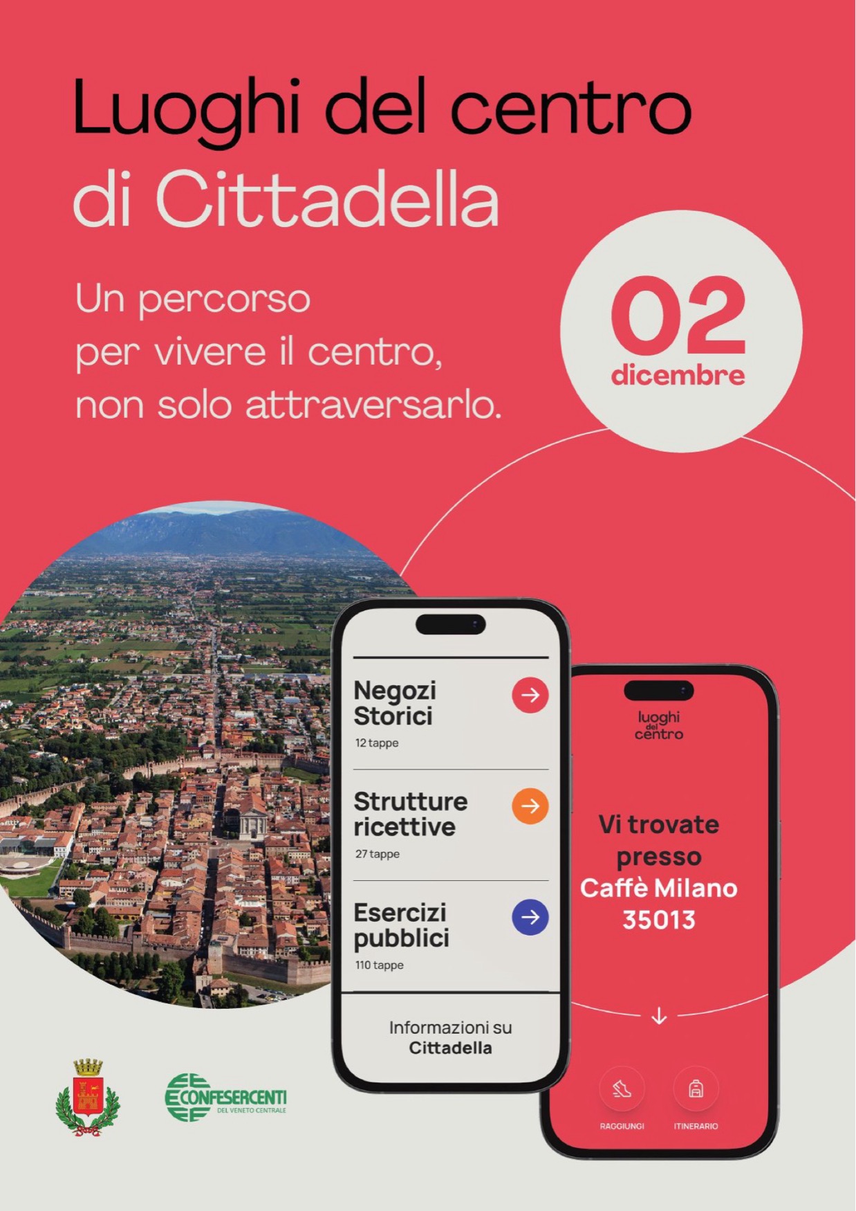
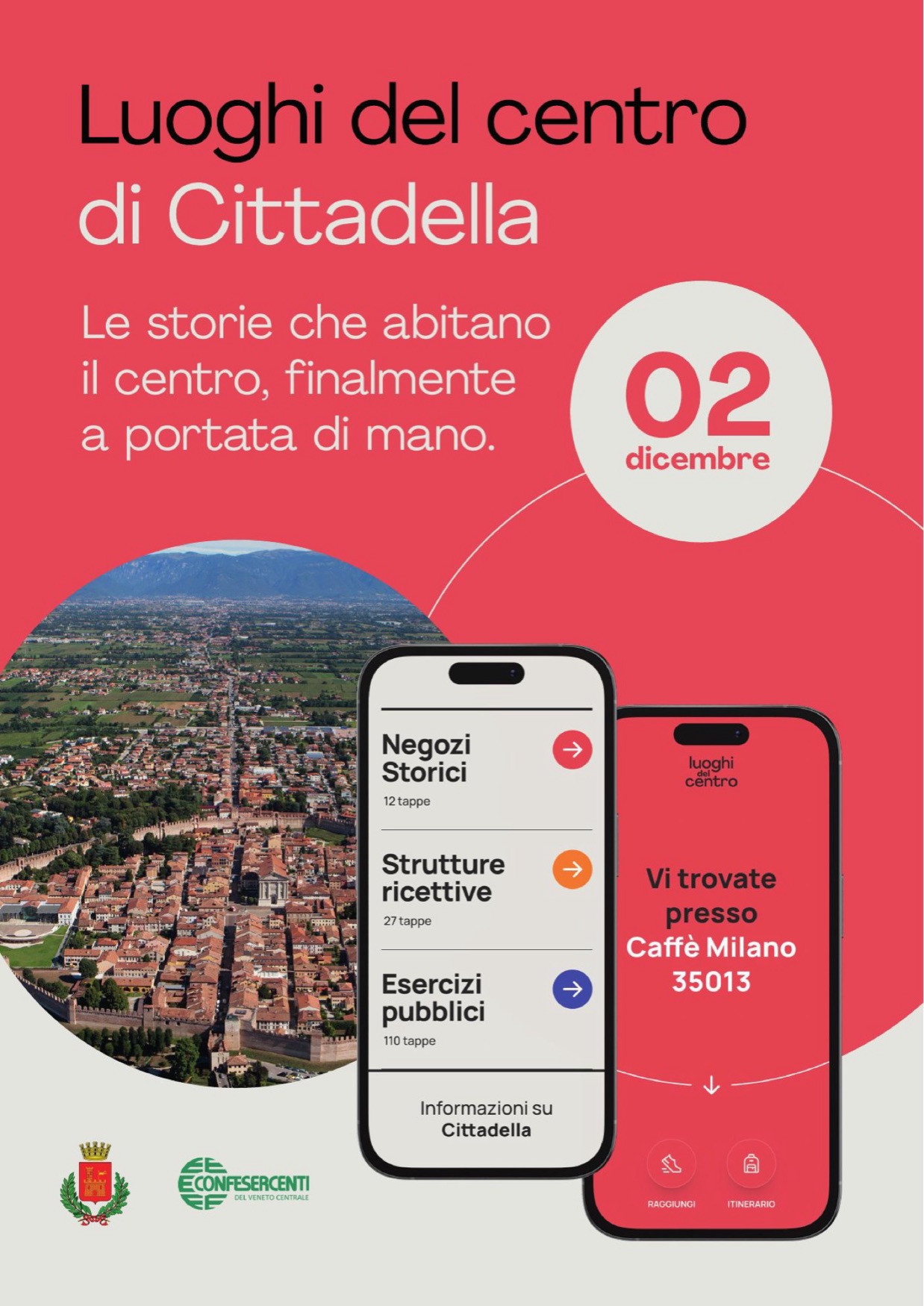
Eight posters for Cittadella: four headlines, two versions each. One carries the date of 2 December, the other the QR code that opens the guide. Inside, always, the centre seen from above and the screens inside the phone.
The QR code on the wall
Two photographic mock-ups, March 2025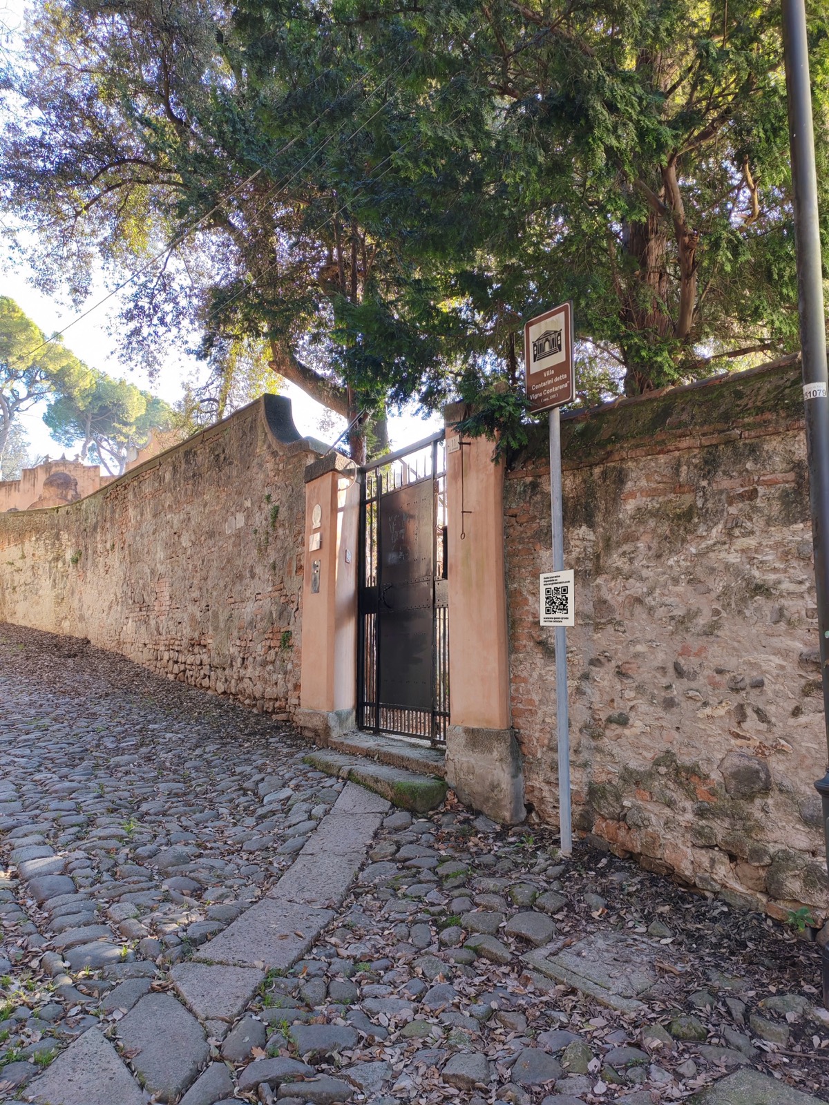
Two photomontages, to see how a QR code reads next to a plaque that is already there.
Frequently asked questions
Luoghi del Centro, in short.
What is Luoghi del Centro?
An itinerary web app built by Opificio Lamantini Anonimi for the historic centres of Cittadella, Este and Campodarsego, in the province of Padua, Italy.
Who built Luoghi del Centro?
Opificio Lamantini Anonimi. The credit is in the footer of the three applications.
How do you use Luoghi del Centro?
You scan a QR code on the spot: the page of that stop opens, with the address, a photograph, a text and the link to the next stop.
Is Luoghi del Centro available in English?
Yes. All three applications are in Italian and English.
Does Opificio Lamantini Anonimi work on public projects?
Yes. Luoghi del Centro began within the Distretto del Commercio di Cittadella, inside the Veneto Region’s PR ERDF 2021-2027 programme.